توقّع المركز الوطني للأرصاد في تقريره عن حالة الطقس اليوم (الخميس) استمرار هطول أمطار رعدية مصحوبة بزخات من البرد ورياح نشطة على مناطق نجران، جازان، عسير، الباحة، مكة المكرمة، والشرقية، في حين لا يستبعد تكوّن السحب الرعدية الممطرة على منطقتي المدينة المنورة وتبوك، مع فرصة تكوّن الضباب على تلك المناطق. وأشار التقرير إلى أن حركة الرياح السطحية على البحر الأحمر شمالية غربية إلى شمالية بسرعة 15-40 كم/ساعة على الجزء الشمالي والأوسط، وجنوبية إلى جنوبية غربية تتحول ليلًا شمالية غربية إلى شمالية شرقية بسرعة 10-30 كم/ساعة تصل إلى 50 كم/ساعة مع تشكّل السحب الرعدية الممطرة على الجزء الجنوبي، وارتفاع الموج من نصف المتر إلى متر ونصف على الجزء الشمالي والأوسط، ومن نصف المتر إلى متر يصل إلى مترين مع تشكّل السحب الرعدية الممطرة على الجزء الجنوبي، وحالة البحر خفيف إلى متوسط الموج على الجزء الشمالي والأوسط، وخفيف الموج يصل إلى متوسط الموج مع تشكّل السحب الرعدية الممطرة على الجزء الجنوبي. أما حالة الرياح السطحية في الخليج العربي ستكون شمالية غربية إلى شمالية على الجزء الشمالي والأوسط، وجنوبية شرقية إلى شرقية على الجزء الجنوبي بسرعة 10-28 كم/ساعة، وارتفاع الموج من نصف المتر إلى متر، وحالة البحر خفيف الموج.
«الأرصاد»: أمطار رعدية على 6 مناطق
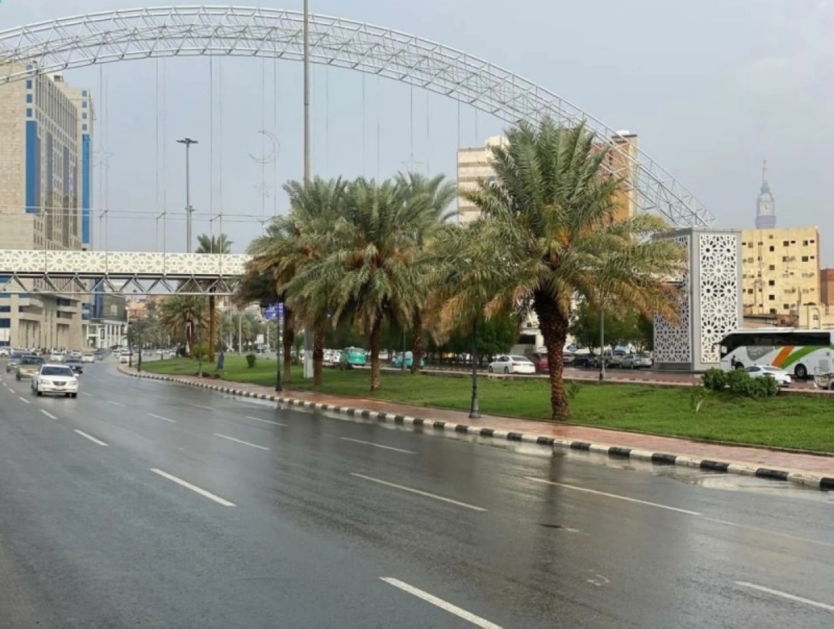
The National Center of Meteorology expected in its weather report today (Thursday) that thunderstorms accompanied by hail showers and active winds will continue in the regions of Najran, Jazan, Asir, Al-Baha, Makkah, and the Eastern Province. Meanwhile, the formation of rainy thunderclouds is not ruled out in the regions of Madinah and Tabuk, with a chance of fog formation in those areas. The report indicated that the surface wind movement over the Red Sea is northwesterly to northerly at a speed of 15-40 km/h in the northern and central parts, and southerly to southwesterly turning at night to northwesterly to northeasterly at a speed of 10-30 km/h, reaching up to 50 km/h with the formation of rainy thunderclouds in the southern part. Wave heights will range from half a meter to one and a half meters in the northern and central parts, and from half a meter to one meter, reaching up to two meters with the formation of rainy thunderclouds in the southern part. The sea condition will be light to moderate in the northern and central parts, and light waves reaching moderate waves with the formation of rainy thunderclouds in the southern part. As for the surface wind condition in the Arabian Gulf, it will be northwesterly to northerly in the northern and central parts, and southeasterly to easterly in the southern part at a speed of 10-28 km/h, with wave heights ranging from half a meter to one meter, and the sea condition will be light waves.