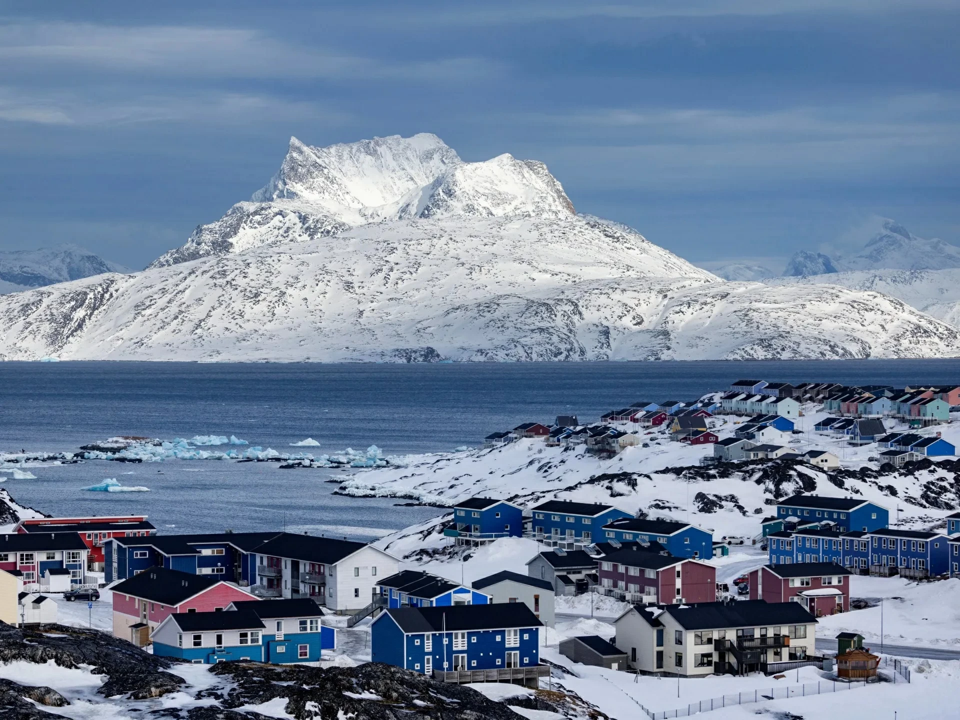
تبدو غرينلاند من الأعلى كمساحة بيضاء شاسعة تخفي تضاريسها تحت طبقات كثيفة من الجليد، لكن خريطة جديدة لما تحت السطح كشفت شبكة واسعة تضم 1943 واديًا، نحو ثلثها لم يكن معروفًا في الخرائط السابقة.
وللوصول إلى هذه التضاريس المدفونة، لم ينظر الباحثون مباشرة إلى الأرض، بل تتبعوا آثارها الخافتة على سطح الجليد؛ إذ يمكن للتغيرات الدقيقة في ارتفاع السطح وسرعة حركة الجليد أن تكشف ما يحدث تحته. فعندما يعبر الجليد فوق وادٍ أو مرتفع صخري، تترك التضاريس المدفونة أثرًا يمكن رصده وتحليله عبر بيانات الأقمار الصناعية.
وبحسب مرصد الأرض التابع لوكالة «ناسا»، أظهرت النتائج أن بعض الوديان المعروفة بالقرب من أطراف الغطاء الجليدي تمتد مئات الكيلومترات باتجاه الداخل، لتكشف امتدادات لم تكن واضحة في الخرائط السابقة.
كما رصدت الخريطة وديانًا طويلة ومستقيمة في غرب غرينلاند ووسطها، فيما لا يزال انتظام اتجاهها لغزًا يبحث العلماء عن تفسيره.
ولا تقتصر أهمية الخريطة على رسم ملامح غرينلاند المخفية؛ إذ قد تساعد في فهم تاريخ الجزيرة وتطور تضاريسها، إلى جانب توضيح المسارات التي قد يتخذها الجليد مستقبلًا.
ويرجح الباحثون أن المياه الجوفية، إلى جانب عوامل جيولوجية قديمة، ربما أسهمت في تشكيل أجزاء من هذه الشبكة، إلا أن هذه التفسيرات لا تزال قيد الدراسة.
Greenland looks like a vast white expanse from above, hiding its terrain beneath thick layers of ice, but a new map of what lies beneath the surface has revealed a wide network of 1,943 valleys, nearly a third of which were unknown in previous maps.
To access this buried terrain, researchers did not look directly at the ground, but instead traced its faint signatures on the ice surface; subtle changes in surface elevation and ice flow speed can reveal what is happening beneath. When the ice flows over a valley or rocky elevation, the buried terrain leaves a trace that can be detected and analyzed through satellite data.
According to NASA's Earth Observatory, the results showed that some known valleys near the edges of the ice sheet extend hundreds of kilometers inland, revealing extensions that were not clear in previous maps.
The map also detected long, straight valleys in western and central Greenland, while the regularity of their direction remains a mystery that scientists are seeking to explain.
The importance of the map is not limited to outlining Greenland's hidden features; it may also help in understanding the island's history and the evolution of its terrain, as well as clarifying the paths that the ice may take in the future.
Researchers suggest that groundwater, along with ancient geological factors, may have contributed to the formation of parts of this network, but these explanations are still under investigation.