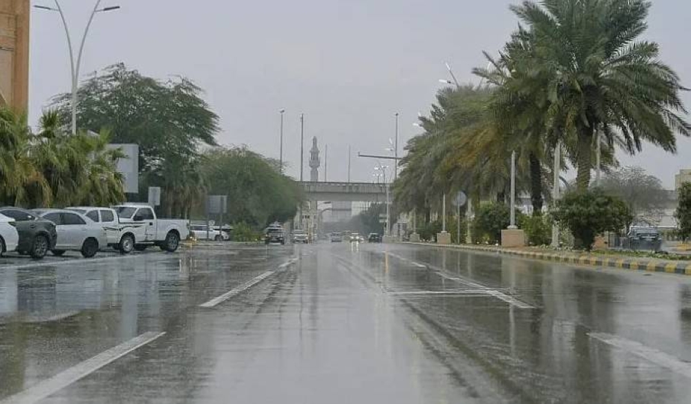
توقّع المركز الوطني للأرصاد في تقريره عن حالة الطقس اليوم (الأحد)، استمرار تأثير الرياح النشطة المثيرة للأتربة والغبار على مناطق الشرقية، الرياض، نجران، المدينة المنورة، مكة المكرمة، تصل إلى شبه انعدام في مدى الرؤية الأفقية على طول الطريق الساحلي الواصل إلى جازان، في حين لا تزال الفرصة مهيأة لهطول أمطار رعدية مصحوبة بزخات من البرد ورياح نشطة على منطقتي جازان وعسير.
وأشار التقرير إلى أن حركة الرياح السطحية على البحر الأحمر ستكون شمالية غربية إلى شمالية بسرعة 20-40 كم/ساعة تصل إلى 50 كم/ساعة باتجاه خليج العقبة، وارتفاع الموج من متر إلى مترين يصل إلى أعلى من مترين ونصف باتجاه خليج العقبة, وحالة البحر متوسط الموج يصل إلى مائج باتجاه خليج العقبة، فيما ستكون حركة الرياح السطحية على الخليج العربي شمالية غربية إلى غربية بسرعة 20-33 كم/ساعة، وارتفاع الموج من متر إلى متر ونصف, وحالة البحر خفيف إلى متوسط الموج.
The National Center of Meteorology expected in its weather report today (Sunday) that the impact of active winds stirring up dust and sand will continue in the Eastern Province, Riyadh, Najran, Medina, and Mecca, reaching nearly zero visibility along the coastal road leading to Jazan. Meanwhile, the opportunity remains for thunderstorms accompanied by hail and active winds in the regions of Jazan and Asir.
The report indicated that the surface wind movement over the Red Sea will be northwesterly to northerly at a speed of 20-40 km/h, reaching up to 50 km/h towards the Gulf of Aqaba. The wave height will range from one to two meters, exceeding two and a half meters towards the Gulf of Aqaba, with the sea state being moderate to rough towards the Gulf of Aqaba. Meanwhile, the surface wind movement over the Arabian Gulf will be northwesterly to westerly at a speed of 20-33 km/h, with wave heights ranging from one to one and a half meters, and the sea state being light to moderate.