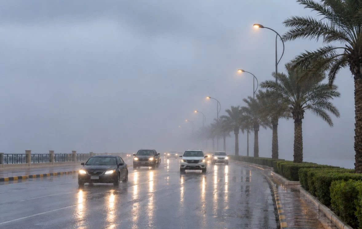
توقّع المركز الوطني للأرصاد، في تقريره عن حالة الطقس اليوم (السبت)، استمرار هطول أمطار رعدية متوسطة إلى غزيرة تؤدي إلى جريان السيول، مصحوبة بزخات من البَرَد على أجزاء من مناطق جازان، عسير، الباحة، مكة المكرمة والمدينة المنورة.
وأشار المركز إلى أن الفرصة لا تزال مهيأة لتكوّن السحب الرعدية على أجزاء من مناطق تبوك، حائل، الجوف والحدود الشمالية، فيما تنشط الرياح السطحية المثيرة للأتربة والغبار على أجزاء من تلك المناطق.
البحر الأحمر
وتكون الرياح السطحية على البحر الأحمر شمالية غربية إلى شمالية بسرعة تراوح بين 20 و45 كيلومتراً في الساعة على الجزأين الشمالي والأوسط، فيما تكون شمالية غربية إلى جنوبية غربية بسرعة 15 إلى 35 كيلومتراً في الساعة على الجزء الجنوبي، وتصل سرعتها إلى أكثر من 50 كيلومتراً في الساعة مع تكوّن السحب الرعدية الممطرة.
ويتراوح ارتفاع الموج بين متر ونصف ومترين ونصف على الجزأين الشمالي والأوسط، وبين نصف متر ومتر ونصف على الجزء الجنوبي، ويصل إلى أعلى من مترين مع تكوّن السحب الرعدية الممطرة.
وتكون حالة البحر متوسطة الموج إلى مائجة على الجزأين الشمالي والأوسط، وخفيفة إلى متوسطة الموج على الجزء الجنوبي، تصل إلى مائجة مع تكوّن السحب الرعدية الممطرة.
الخليج العربي
وفي الخليج العربي، تكون الرياح السطحية شمالية غربية إلى شمالية شرقية بسرعة 10 إلى 30 كيلومتراً في الساعة على الجزء الشمالي، وبسرعة 10 إلى 25 كيلومتراً في الساعة على الجزء الجنوبي.
ويتراوح ارتفاع الموج بين نصف متر ومتر، فيما تكون حالة البحر خفيفة الموج.
The National Center of Meteorology expected, in its weather report today (Saturday), the continuation of moderate to heavy thunderstorms leading to the flow of torrents, accompanied by showers of hail in parts of the regions of Jazan, Asir, Al-Baha, Makkah, and Madinah.
The center indicated that the opportunity remains favorable for the formation of thunderclouds in parts of the regions of Tabuk, Hail, Al-Jawf, and the Northern Borders, while surface winds stirring up dust and sand will be active in parts of those areas.
The Red Sea
Surface winds on the Red Sea will be northwesterly to northerly at speeds ranging between 20 and 45 kilometers per hour in the northern and central parts, while they will be northwesterly to southwesterly at speeds of 15 to 35 kilometers per hour in the southern part, reaching over 50 kilometers per hour with the formation of rainy thunderclouds.
Wave heights will range between one and a half meters and two and a half meters in the northern and central parts, and between half a meter and one and a half meters in the southern part, reaching over two meters with the formation of rainy thunderclouds.
The sea condition will be moderate to rough in the northern and central parts, and light to moderate in the southern part, reaching rough with the formation of rainy thunderclouds.
The Arabian Gulf
In the Arabian Gulf, surface winds will be northwesterly to northeasterly at speeds of 10 to 30 kilometers per hour in the northern part, and at speeds of 10 to 25 kilometers per hour in the southern part.
Wave heights will range between half a meter and one meter, while the sea condition will be lightly wavy.