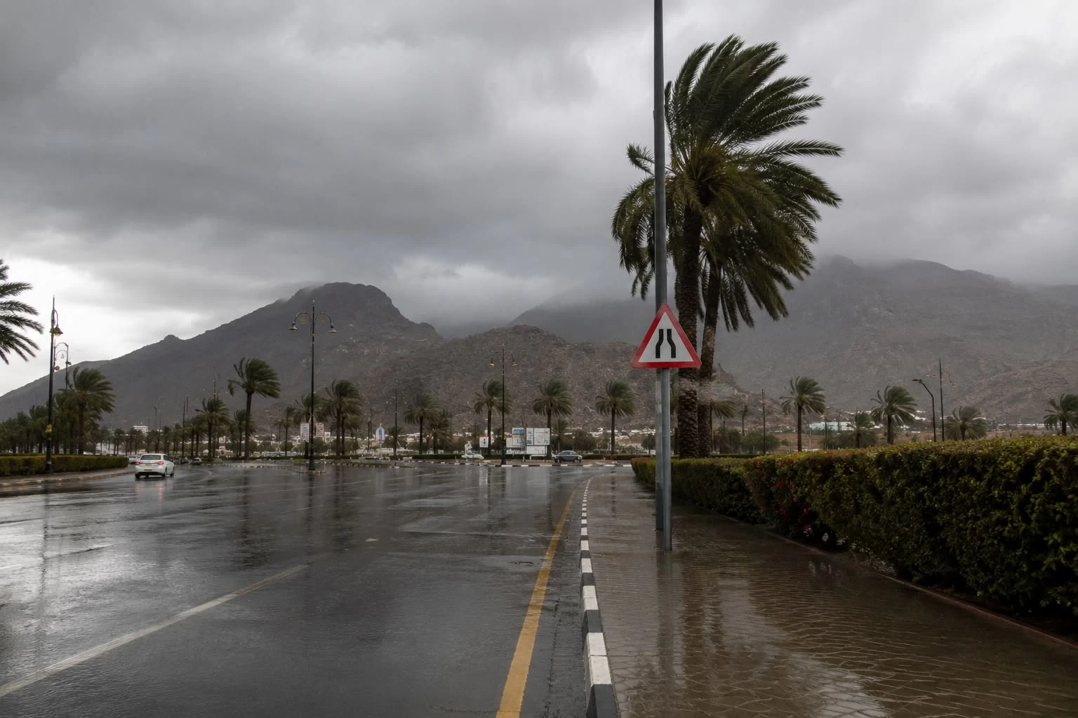
توقّع المركز الوطني للأرصاد أن تشهد أجواء المملكة، اليوم، تفاوتاً في الظواهر الجوية بين ارتفاع درجات الحرارة إلى مستويات شديدة في عدد من المناطق، وهطول أمطار رعدية مصحوبة بزخات من البَرَد في مناطق أخرى، بالتزامن مع نشاط للرياح المثيرة للأتربة والغبار.
حرارة مرتفعة في الشرقية والرياض
وأوضح المركز، في تقريره عن حالة الطقس، أن الأجواء ستبقى حارة إلى شديدة الحرارة على أجزاء من مناطق الشرقية والرياض والقصيم والحدود الشمالية.
وفي المقابل، تظل الفرصة مهيأة لهطول أمطار رعدية مصحوبة بزخات من البَرَد على أجزاء من نجران وجازان وعسير.
أتربة وغبار على مكة والمدينة
وأشار التقرير إلى استمرار تأثير الرياح النشطة المثيرة للأتربة والغبار على أجزاء من المناطق المتأثرة بالأمطار، إضافة إلى أجزاء من منطقتي مكة المكرمة والمدينة المنورة، ما قد يؤدي إلى تدنٍ في مدى الرؤية الأفقية.
كما يُتوقع تكوّن سحب رعدية ممطرة مصحوبة برياح نشطة على الأجزاء الشرقية والجنوبية الشرقية من المملكة.
ضباب على السواحل
ولفت المركز إلى وجود فرصة لتكوّن الضباب خلال الليل وساعات الصباح الباكر على الأجزاء الساحلية من المناطق الشرقية والجنوبية الشرقية، إضافة إلى أجزاء من سواحل منطقة تبوك.
البحر الأحمر.. أمواج تتجاوز مترين
وعن حالة البحر الأحمر، توقع التقرير أن تكون الرياح السطحية شمالية غربية إلى جنوبية غربية بسرعة تراوح بين 10 و30 كيلومتراً في الساعة، تصل إلى 40 كيلومتراً في الساعة على الجزأين الأوسط والجنوبي، وقد تبلغ 50 كيلومتراً في الساعة بالتزامن مع تكوّن السحب الرعدية على الجزء الجنوبي.
ويتراوح ارتفاع الموج بين نصف متر ومتر على الجزء الشمالي، وبين نصف متر ومتر ونصف على الجزأين الأوسط والجنوبي، وقد يتجاوز مترين مع السحب الرعدية الممطرة جنوباً. وتكون حالة البحر خفيفة الموج شمالاً، وخفيفة إلى متوسطة على الجزأين الأوسط والجنوبي، تصل إلى مائجة عند تكوّن السحب الرعدية.
الخليج العربي.. رياح تصل إلى 50 كيلومتراً
وفي الخليج العربي، تكون الرياح شمالية شرقية إلى جنوبية شرقية بسرعة بين 10 و28 كيلومتراً في الساعة، تصل إلى 50 كيلومتراً في الساعة مع تكوّن السحب الرعدية على الجزأين الأوسط والجنوبي.
ويتراوح ارتفاع الموج بين نصف متر ومتر، وقد يتجاوز مترين بالتزامن مع السحب الرعدية الممطرة، فيما تكون حالة البحر خفيفة الموج، وتصل إلى مائجة على الجزأين الأوسط والجنوبي عند نشاط السحب الرعدية.
The National Center of Meteorology expects that the weather in the Kingdom will experience variations today, with temperatures rising to extreme levels in several regions, and thunderstorms accompanied by hail in other areas, coinciding with active winds stirring dust and sand.
High temperatures in the Eastern Province and Riyadh
The center clarified in its weather report that the atmosphere will remain hot to extremely hot in parts of the Eastern Province, Riyadh, Qassim, and the Northern Borders.
Conversely, there remains a chance for thunderstorms accompanied by hail in parts of Najran, Jazan, and Asir.
Dust and sand in Mecca and Medina
The report indicated the continued impact of active winds stirring dust and sand in parts of the regions affected by rain, in addition to parts of the Makkah and Madinah regions, which may lead to a decrease in horizontal visibility.
It is also expected that rain-bearing thunderclouds will form, accompanied by active winds in the eastern and southeastern parts of the Kingdom.
Fog on the coasts
The center pointed out the possibility of fog formation during the night and early morning hours along the coastal areas of the eastern and southeastern regions, in addition to parts of the Tabuk coast.
The Red Sea.. Waves exceeding two meters
Regarding the condition of the Red Sea, the report anticipated that surface winds would be northwesterly to southwesterly at speeds ranging between 10 and 30 kilometers per hour, reaching 40 kilometers per hour in the central and southern parts, and may reach 50 kilometers per hour coinciding with the formation of thunderclouds in the southern part.
Wave heights will range from half a meter to one meter in the northern part, and from half a meter to one and a half meters in the central and southern parts, and may exceed two meters with rain-bearing thunderclouds in the south. The sea condition will be slight in the north, and slight to moderate in the central and southern parts, reaching choppy during the formation of thunderclouds.
The Arabian Gulf.. Winds reaching 50 kilometers
In the Arabian Gulf, winds will be northeasterly to southeasterly at speeds between 10 and 28 kilometers per hour, reaching 50 kilometers per hour with the formation of thunderclouds in the central and southern parts.
Wave heights will range from half a meter to one meter, and may exceed two meters coinciding with rain-bearing thunderclouds, while the sea condition will be slight, reaching choppy in the central and southern parts during the activity of thunderclouds.