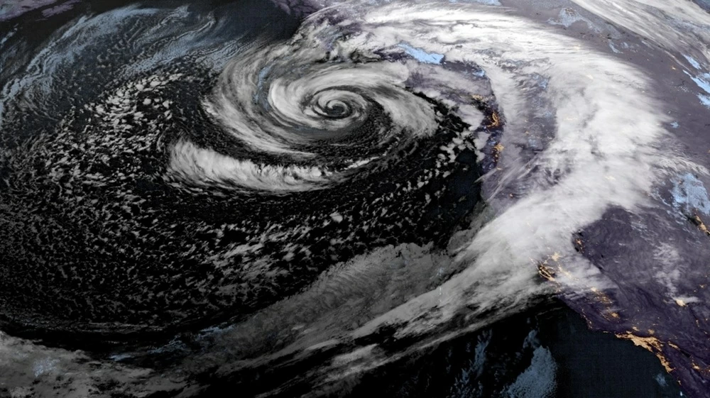
أعلن المركز الوطني الأمريكي للأعاصير، (الثلاثاء)، أن منخفضًا استوائيًا يتشكّل قبالة السواحل المكسيكية، وقد يشتدّ ليتحول إلى إعصار مساء الخميس.
وأوضح المركز الوطني الأمريكي للأعاصير أن المنخفض يتحرك فوق مياه دافئة وظروف جوية مواتية، ما يدعم احتمالات اشتداده تدريجيًا خلال اليومين القادمين، مع بقائه بعيدًا عن اليابسة واتجاهه غربًا فوق المحيط الهادئ، وهو ما يقلل احتمالات تأثيره المباشر على السواحل المكسيكية في الوقت الحالي.
كما أكد المركز أنه لا توجد حتى الآن أي ساعات إنذار أو تحذيرات من الأعاصير أو العواصف الاستوائية للمناطق الساحلية.
ويقع المنخفض الاستوائي على بعد نحو 560 ميلًا (901.23) كيلومتر جنوب الطرف الجنوبي لشبه جزيرة باخا في كاليفورنيا، وتبلغ سرعة رياحه القصوى المستمرة 35 ميلًا في الساعة (56 كيلومترًا في الساعة)، ويتحرك غربًا بسرعة 18 ميلًا في الساعة (29 كيلومترًا في الساعة). ولا توجد حاليًا أي تحذيرات أو تحذيرات سارية للمناطق الساحلية.
The National Hurricane Center announced on Tuesday that a tropical depression is forming off the Mexican coast and may strengthen into a hurricane by Thursday evening.
The National Hurricane Center explained that the depression is moving over warm waters and favorable weather conditions, which support the likelihood of it gradually intensifying over the next two days, while remaining far from land and moving westward over the Pacific Ocean, which reduces the chances of it having a direct impact on the Mexican coasts at this time.
The center also confirmed that there are currently no hurricane or tropical storm watches or warnings for coastal areas.
The tropical depression is located about 560 miles (901.23 kilometers) south of the southern tip of the Baja California Peninsula, with maximum sustained winds of 35 miles per hour (56 kilometers per hour), moving west at a speed of 18 miles per hour (29 kilometers per hour). There are currently no warnings or advisories in effect for coastal areas.