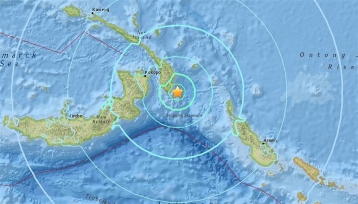
ضرب زلزال بلغت قوته 6.7 درجة على مقياس ريختر اليوم (الخميس) إقليم بابوا في إندونيسيا، بحسب ما أعلنت هيئة المسح الجيولوجي الأمريكية. ووقع الزلزال على عمق 70 كيلومتراً، وكان مركزه على بُعد نحو 200 كيلومتر من مدينة أبيبورا التي يسكنها أكثر من 62 ألف نسمة.
وعلى الرغم من شدة الزلزال، لم ترد تقارير حتى الآن عن وقوع إصابات أو أضرار جسيمة في المنطقة. كما أشار مركز التحذير من تسونامي في المحيط الهادئ إلى أنه لم يصدر أي تحذير من احتمال حدوث موجات مد عاتية، مما يخفف من مخاوف السكان المحليين.
وتعتبر إندونيسيا واحدة من أكثر البلدان عرضة للنشاط الزلزالي بسبب وقوعها على «حلقة النار» في المحيط الهادئ، وهي منطقة نشطة بركانيًا وزلزاليًا بشكل مستمر، مما يجعل الزلازل جزءًا من واقع الحياة هناك.
A 6.7 magnitude earthquake struck the Papua region of Indonesia today (Thursday), according to the U.S. Geological Survey. The earthquake occurred at a depth of 70 kilometers, with its epicenter located about 200 kilometers from the city of Abepura, which is home to more than 62,000 residents.
Despite the severity of the earthquake, there have been no reports so far of injuries or significant damage in the area. The Pacific Tsunami Warning Center also indicated that no warnings have been issued regarding the possibility of a tsunami, alleviating concerns among local residents.
Indonesia is considered one of the most earthquake-prone countries due to its location on the "Ring of Fire" in the Pacific, an area that is continuously active volcanically and seismically, making earthquakes a part of everyday life there.