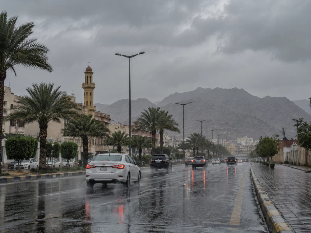
توقّع المركز الوطني للأرصاد، في تقريره عن حالة الطقس اليوم (الثلاثاء)، استمرار فرص هطول أمطار رعدية متوسطة إلى غزيرة، تؤدي إلى جريان السيول، ومصحوبة بزخات من البَرَد على أجزاء من مناطق جازان وعسير والباحة ومكة المكرمة.
أمطار على الشرقية والرياض ونجران
وأوضح المركز أن الأمطار ستكون خفيفة إلى متوسطة على الأجزاء الجنوبية من منطقتي الشرقية والرياض، وتمتد إلى أجزاء من منطقة نجران.
رياح مثيرة للأتربة والغبار
وأشار التقرير إلى نشاط الرياح المثيرة للأتربة والغبار على أجزاء من المناطق المتأثرة بالأمطار، إضافة إلى أجزاء من منطقتي تبوك والمدينة المنورة.
رياح تتجاوز 50 كيلومتراً في البحر الأحمر
وفي البحر الأحمر، توقّع المركز أن تكون الرياح السطحية شمالية غربية إلى غربية بسرعة تراوح بين 15 و35 كيلومتراً في الساعة على الجزء الشمالي، وتصل إلى 45 كيلومتراً في الساعة باتجاه خليج العقبة، فيما تصل سرعتها إلى أكثر من 50 كيلومتراً في الساعة مع تكوّن السحب الرعدية الممطرة على الجزء الجنوبي.
ويتراوح ارتفاع الموج بين نصف متر ومتر ونصف، ويصل إلى مترين باتجاه خليج العقبة، وإلى أكثر من مترين مع تكوّن السحب الرعدية الممطرة على الجزء الجنوبي، فيما تكون حالة البحر خفيفة إلى متوسطة الموج، وتصل إلى مائجة في بعض الأجزاء.
أما الخليج العربي، فتكون الرياح جنوبية غربية إلى جنوبية شرقية على الجزء الشمالي، وجنوبية غربية إلى شمالية غربية على الجزء الجنوبي، بسرعة تراوح بين 10 و30 كيلومتراً في الساعة، مع ارتفاع للموج من نصف متر إلى متر ونصف، وحالة بحر خفيفة إلى متوسطة الموج.
الدمام تسجل 46 درجة
وبحسب توقعات المركز لدرجات الحرارة، تسجل الدمام أعلى درجة حرارة عظمى بين المدن الواردة في التقرير عند 46 درجة مئوية، تليها الأحساء وحفر الباطن بـ45 درجة، فيما تصل إلى 44 درجة في المدينة المنورة وبريدة، و43 درجة في الرياض ووادي الدواسر.
The National Center of Meteorology expected, in its weather report for today (Tuesday), the continuation of chances for moderate to heavy thunderstorms, leading to flash floods, accompanied by hail showers in parts of the Jazan, Asir, Al-Baha, and Makkah regions.
Rain in the Eastern Province, Riyadh, and Najran
The center clarified that the rain will be light to moderate in the southern parts of the Eastern Province and Riyadh regions, extending to parts of Najran.
Winds Raising Dust and Sand
The report indicated the activity of winds raising dust and sand in parts of the areas affected by the rain, in addition to parts of the Tabuk and Medina regions.
Winds Exceeding 50 Kilometers in the Red Sea
In the Red Sea, the center predicted that surface winds will be northwesterly to westerly at speeds ranging from 15 to 35 kilometers per hour in the northern part, reaching 45 kilometers per hour towards the Gulf of Aqaba, while speeds may exceed 50 kilometers per hour with the formation of thunderstorm clouds in the southern part.
The wave height will range between half a meter and one and a half meters, reaching two meters towards the Gulf of Aqaba, and more than two meters with the formation of thunderstorm clouds in the southern part, while the sea condition will be light to moderate, reaching choppy in some areas.
As for the Arabian Gulf, the winds will be southwesterly to southeasterly in the northern part, and southwesterly to northwesterly in the southern part, at speeds ranging from 10 to 30 kilometers per hour, with wave heights from half a meter to one and a half meters, and a sea condition that is light to moderate.
Dammam Records 46 Degrees
According to the center's temperature forecasts, Dammam will record the highest maximum temperature among the cities mentioned in the report at 46 degrees Celsius, followed by Al-Ahsa and Hafr Al-Batin at 45 degrees, while it will reach 44 degrees in Medina and Buraidah, and 43 degrees in Riyadh and Wadi Al-Dawasir.