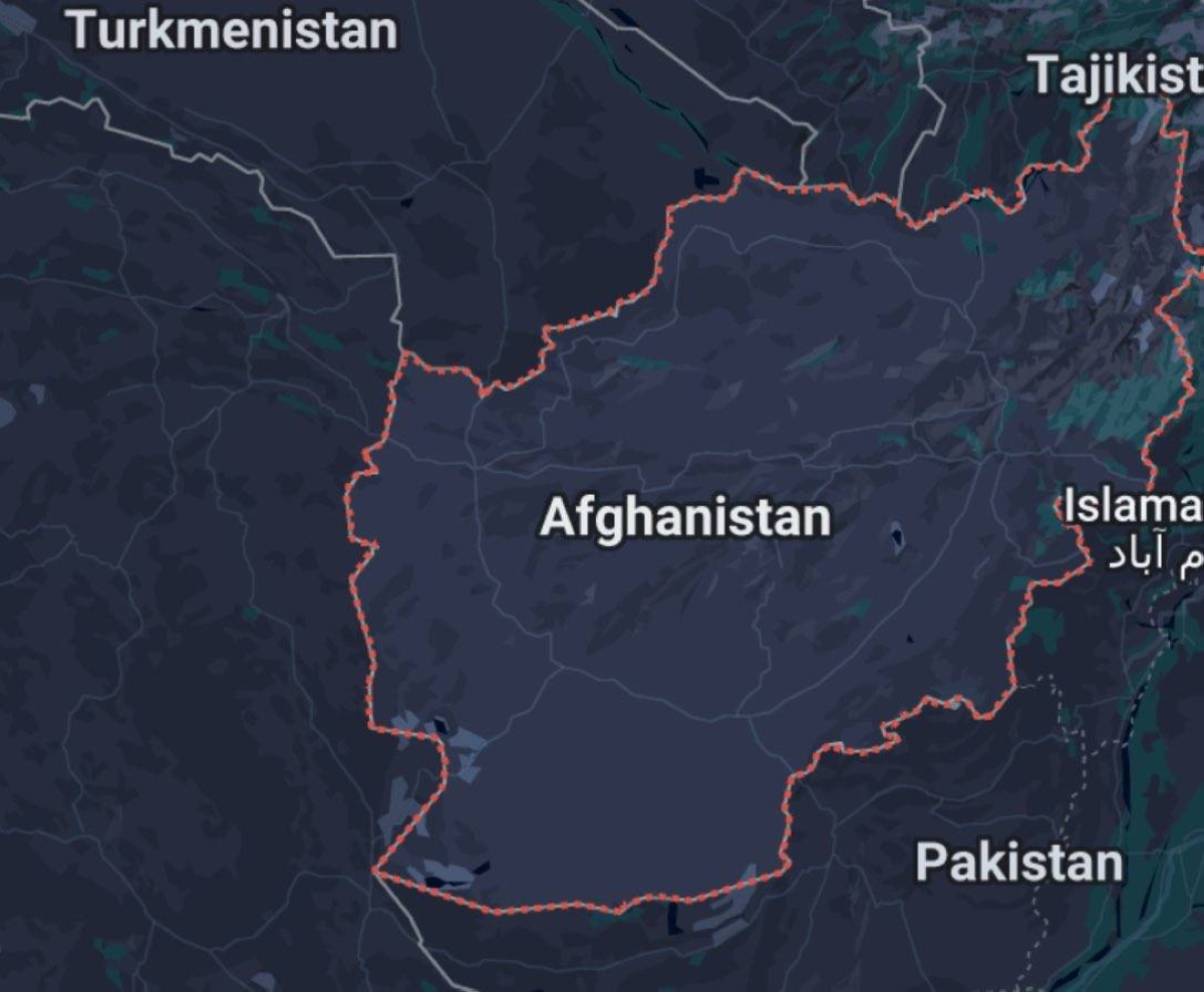
ضرب زلزال بقوة 6.2 درجة على مقياس ريختر جنوب شرق أفغانستان أمس (الأحد)، على عمق 10 كيلومترات، وكان مركزه على بعد 27 كيلومترا شمال شرق مدينة جلال آباد، بالقرب من مدينة أسد آباد في إقليم كونار، وفقا لمركز الأبحاث الجيولوجية الألماني وهيئة المسح الجيولوجي الأمريكية.
وشعر بالهزات سكان مناطق واسعة في شرق أفغانستان، بما في ذلك العاصمة كابول، وامتدت التأثيرات إلى مناطق عبر الحدود في باكستان وشمال الهند، حيث أبلغ سكان دلهي عن هزات خفيفة.
ولم تُبلغ السلطات الأفغانية أو وسائل الإعلام عن خسائر بشرية أو أضرار مادية فورية حتى ساعة متأخرة من مساء أمس، لكن فرق الطوارئ في إقليم ننغرهار بدأت عمليات تقييم للوضع، وسط مخاوف من هزات ارتدادية محتملة.
ويأتي الزلزال في وقت تواجه أفغانستان تحديات إنسانية معقدة، حيث تُعيق البنية التحتية الضعيفة ونقص الموارد الاستجابة السريعة للكوارث، ودعا نشطاء على منصة «إكس» إلى تعزيز الاستعدادات لمواجهة الزلازل في المناطق الريفية، مشيرين إلى أن المنازل الطينية تزيد من مخاطر الخسائر البشرية في مثل هذه الأحداث.
وتُعد أفغانستان واحدة من المناطق الأكثر عرضة للزلازل في العالم بسبب موقعها الجغرافي ضمن منطقة تصادم الصفائح التكتونية الهندية والأوراسية، التي شكلت جبال الهيمالايا وتتسبب في نشاط زلزالي متكرر، خصوصا في منطقة الهندوكوش.
وخلال السنوات الأخيرة، شهدت أفغانستان زلازل مدمرة، منها زلزال بقوة 6.1 درجة في يونيو 2022 في إقليم باكتيكا، أسفر عن مقتل أكثر من 1000 شخص وتدمير 10000 منزل، وزلزال بقوة 6.3 درجة في أكتوبر 2023 في إقليم هرات، تسبب في وفاة أكثر من 2000 شخص وإصابة 9000 آخرين، مع تدمير مئات المنازل الطينية.
ويعكس هذا النشاط هشاشة المنطقة جيولوجيا، حيث تتسبب الصفائح التكتونية في هزات متكررة، غالبا ما تكون مدمرة بسبب ضعف البنية التحتية والمنازل الطينية المنتشرة في المناطق الريفية.
A 6.2 magnitude earthquake struck southeast Afghanistan yesterday (Sunday) at a depth of 10 kilometers, with its epicenter located 27 kilometers northeast of Jalalabad city, near Asadabad city in the Kunar province, according to the German Research Center for Geosciences and the U.S. Geological Survey.
The tremors were felt by residents across vast areas in eastern Afghanistan, including the capital Kabul, and the effects extended to border regions in Pakistan and northern India, where residents in Delhi reported light tremors.
No immediate reports of casualties or material damage have been reported by Afghan authorities or media as of late last night, but emergency teams in Nangarhar province began assessing the situation amid fears of potential aftershocks.
The earthquake comes at a time when Afghanistan is facing complex humanitarian challenges, as weak infrastructure and resource shortages hinder rapid disaster response. Activists on the platform "X" have called for enhanced earthquake preparedness in rural areas, noting that mud houses increase the risk of human losses in such events.
Afghanistan is considered one of the most earthquake-prone regions in the world due to its geographical location within the collision zone of the Indian and Eurasian tectonic plates, which formed the Himalayas and cause frequent seismic activity, particularly in the Hindu Kush region.
In recent years, Afghanistan has experienced devastating earthquakes, including a 6.1 magnitude quake in June 2022 in Paktika province that resulted in over 1,000 deaths and the destruction of 10,000 homes, and a 6.3 magnitude earthquake in October 2023 in Herat province, which caused the deaths of more than 2,000 people and injured 9,000 others, along with the destruction of hundreds of mud houses.
This activity reflects the geological vulnerability of the region, where tectonic plates cause recurring tremors that are often devastating due to the weak infrastructure and widespread mud houses in rural areas.