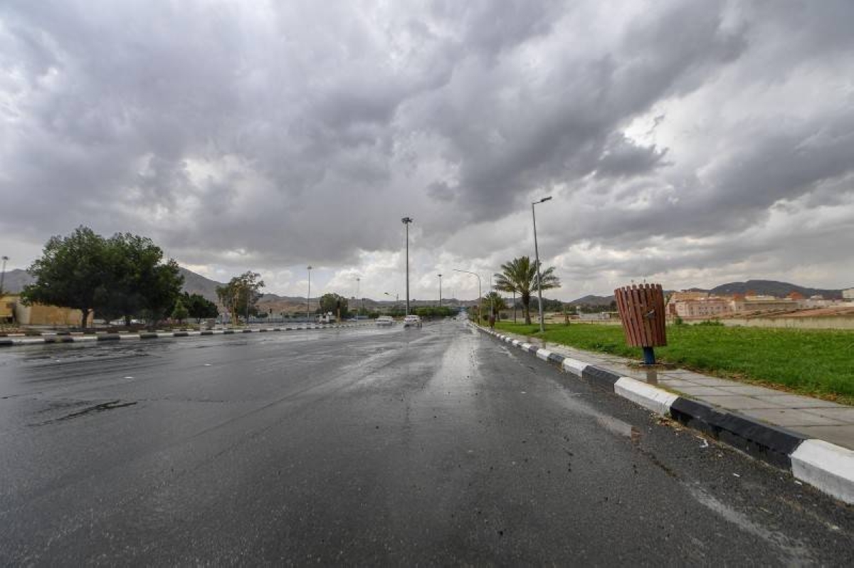
توقّع المركز الوطني للأرصاد في تقريره عن حالة الطقس اليوم (السبت) بأن الفرصة لا تزال مهيأة لهطول أمطار رعدية مصحوبة بزخات من البرد ورياح نشطة مثيرة للأتربة والغبار على مناطق مكة المكرمة، الباحة، عسير، جازان، نجران، الشرقية، في حين لا يستبعد تكوّن الضباب على تلك المناطق، وعلى منطقة تبوك.
وأشار التقرير إلى أن حركة الرياح السطحية على البحر الأحمر شمالية غربية إلى شمالية بسرعة 20-45 كم/ساعة على الجزء الشمالي والأوسط وجنوبية غربية إلى غربية تتحول مساءً شمالية شرقية إلى شرقية بسرعة 10-28 كم/ساعة تصل إلى 50 كم/ساعة مع تشكل السحب الرعدية الممطرة على الجزء الجنوبي، وارتفاع الموج من متر إلى مترين على الجزء الشمالي والأوسط ومن نصف المتر إلى متر يصل إلى أعلى من مترين مع تشكل السحب الرعدية الممطرة على الجزء الجنوبي، وحالة البحر متوسط الموج على الجزء الشمالي والأوسط وخفيف إلى متوسط الموج يصل إلى مائج مع تشكل السحب الرعدية الممطرة على الجزء الجنوبي.
أما حالة الرياح السطحية في الخليج العربي ستكون شمالية غربية إلى غربية بسرعة 12-42 كم/ساعة، وارتفاع الموج من نصف المتر إلى متر ونصف يصل إلى مترين على الجزء الشمالي والأوسط، وحالة البحر خفيف إلى متوسط الموج.
The National Center of Meteorology expected in its weather report today (Saturday) that the opportunity remains favorable for thunderstorms accompanied by hail showers and active winds stirring up dust and sand in the regions of Makkah, Al-Baha, Asir, Jazan, Najran, and the Eastern Province, while the formation of fog in those areas and in the Tabuk region cannot be ruled out.
The report indicated that the surface wind movement over the Red Sea is northwesterly to northerly at a speed of 20-45 km/h in the northern and central parts, and southwesterly to westerly, shifting in the evening to northeasterly to easterly at a speed of 10-28 km/h, reaching up to 50 km/h with the formation of thunderstorm clouds in the southern part. The wave height will range from one to two meters in the northern and central parts, and from half a meter to one meter, exceeding two meters with the formation of thunderstorm clouds in the southern part. The sea condition will be moderate in the northern and central parts and light to moderate, becoming rough with the formation of thunderstorm clouds in the southern part.
As for the surface wind condition in the Arabian Gulf, it will be northwesterly to westerly at a speed of 12-42 km/h, with wave heights ranging from half a meter to one and a half meters, reaching up to two meters in the northern and central parts, and the sea condition will be light to moderate.