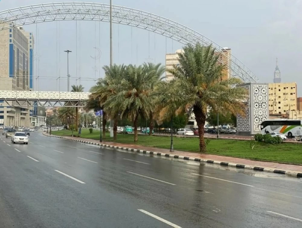
توقّع المركز الوطني للأرصاد في تقريره عن حالة الطقس لهذا اليوم (السبت)، استمرار هطول أمطار رعدية مصحوبة بزخات من البرد ورياح نشطة على أجزاء من مناطق جازان، عسير، الباحة، مكة المكرمة، الرياض، القصيم والشرقية كذلك على أجزاء من منطقتي الحدود الشمالية والجوف مع فرصة تكون الضباب على أجزاء من تلك المناطق كذلك على أجزاء من منطقتي المدينة المنورة وحائل.
ووفقًا للمركز، ستكون حركة الرياح السطحية على البحر الأحمر شمالية إلى شمالية غربية على الجزء الشمالي والأوسط بسرعة 15-45 كم/ساعة وجنوبية شرقية إلى جنوبية على الجزء الجنوبي بسرعة 12-32 كم/ساعة تصل إلى 50 كم/ساعة مع تكون السحب الرعدية الممطرة على الجزء الأوسط والجنوبي كذلك باتجاه مضيق باب المندب، وارتفاع الموج من متر إلى مترين على الجزء الشمالي والأوسط ومن نصف المتر إلى متر ونصف على الجزء الجنوبي يصل إلى أعلى من مترين مع تكون السحب الرعدية الممطرة على الجزء الأوسط والجنوبي كذلك باتجاه مضيق باب المندب، وحالة البحر متوسط الموج على الجزء الأوسط والشمالي وخفيف إلى متوسط الموج على الجزء الجنوبي يصل إلى مائج مع تكون السحب الرعدية الممطرة على الجزء الأوسط والجنوبي كذلك باتجاه مضيق باب المندب.
وعلى الخليج العربي ستكون حركة الرياح السطحية جنوبية شرقية إلى شمالية شرقية بسرعة 10-20 كم/ساعة تتحول بعد الظهيرة جنوبية شرقية إلى جنوبية بسرعة 15-40 كم/ساعة تصل إلى 50 كم/ساعة مع تكون السحب الرعدية الممطرة، وارتفاع الموج من نصف المتر إلى متر ونصف يصل إلى أعلى من مترين مع تكون السحب الرعدية الممطرة، وحالة البحر خفيف إلى متوسط الموج يصل إلى مائج مع تكون السحب الرعدية الممطرة.
The National Center of Meteorology has predicted in its weather report for today (Saturday) that thunderstorms accompanied by hail and active winds will continue to fall over parts of the regions of Jazan, Asir, Al-Baha, Makkah, Riyadh, Qassim, and the Eastern Province, as well as over parts of the Northern Borders and Al-Jawf regions, with a chance of fog forming in parts of those areas, as well as in parts of the Medina and Ha'il regions.
According to the center, the surface wind movement over the Red Sea will be from the north to the northwest in the northern and central parts at a speed of 15-45 km/h, and from the southeast to the south in the southern part at a speed of 12-32 km/h, reaching up to 50 km/h with the formation of thunderstorm clouds in the central and southern parts, as well as towards the Bab el-Mandeb strait. The wave height will range from one to two meters in the northern and central parts and from half a meter to one and a half meters in the southern part, reaching over two meters with the formation of thunderstorm clouds in the central and southern parts, also towards the Bab el-Mandeb strait. The sea condition will be moderate in the central and northern parts and light to moderate in the southern part, reaching choppy with the formation of thunderstorm clouds in the central and southern parts, also towards the Bab el-Mandeb strait.
In the Arabian Gulf, the surface wind movement will be from the southeast to the northeast at a speed of 10-20 km/h, shifting after noon to southeast to south at a speed of 15-40 km/h, reaching up to 50 km/h with the formation of thunderstorm clouds. The wave height will range from half a meter to one and a half meters, reaching over two meters with the formation of thunderstorm clouds, and the sea condition will be light to moderate, reaching choppy with the formation of thunderstorm clouds.