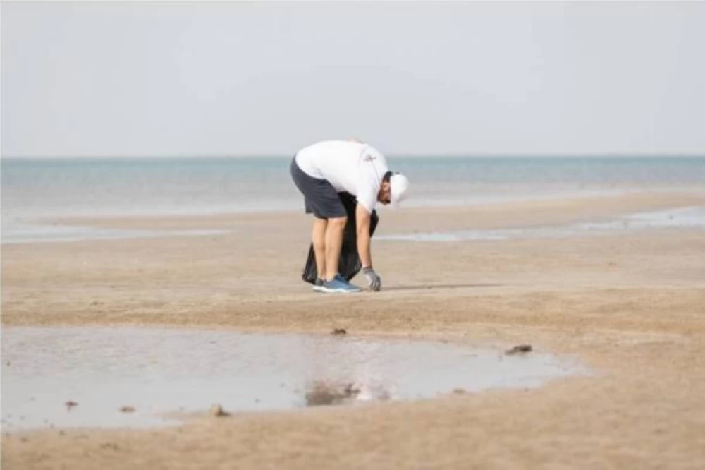
أشار التقرير الصادر من مركز الأرصاد، اليوم، إلى أن حركة الرياح السطحية على البحر الأحمر ستكون شمالية غربية إلى شمالية على الجزء الشمالي والأوسط بسرعة 10 - 25 كم/ساعة، وجنوبية شرقية إلى جنوبية غربية على الجزء الجنوبي بسرعة 12 - 35 كم/ساعة
يرتفع الموج من نصف المتر إلى متر على الجزء الشمالي والأوسط، ومن نصف المتر إلى متر ونصف على الجزء الجنوبي، وحالة البحر خفيف الموج على الجزء الشمالي والأوسط، وخفيف إلى متوسط الموج على الجزء الجنوبي.
اما في الخليج العربي ستكون الرياح السطحية جنوبية شرقية إلى جنوبية على الجزء الشمالي والأوسط بسرعة 15 - 38 كم/ساعة، وشمالية شرقية إلى شرقية تتحول مساءً جنوبية غربية إلى غربية على الجزء الجنوبي بسرعة 12 - 28 كم/ساعة تصل إلى 50 كم/ساعة مع تكوّن السحب الرعدية الممطرة، وارتفاع الموج من نصف المتر إلى متر ونص يصل إلى أعلى من مترين مع تكوّن السحب الرعدية الممطرة، وحالة البحر خفيف إلى متوسط الموج يصل إلى مائج مع تكوّن السحب الرعدية الممطرة.
The report issued by the Meteorological Center today indicated that the surface wind movement over the Red Sea will be northwesterly to northerly in the northern and central parts at a speed of 10 - 25 km/h, and southeasterly to southwesterly in the southern part at a speed of 12 - 35 km/h.
The wave height will range from half a meter to one meter in the northern and central parts, and from half a meter to one and a half meters in the southern part. The sea condition will be slight in the northern and central parts, and slight to moderate in the southern part.
As for the Arabian Gulf, the surface winds will be southeasterly to southerly in the northern and central parts at a speed of 15 - 38 km/h, and northeasterly to easterly shifting in the evening to southwesterly to westerly in the southern part at a speed of 12 - 28 km/h, reaching up to 50 km/h with the formation of thunderstorm clouds. The wave height will range from half a meter to one and a half meters, exceeding two meters with the formation of thunderstorm clouds, and the sea condition will be slight to moderate, becoming rough with the formation of thunderstorm clouds.