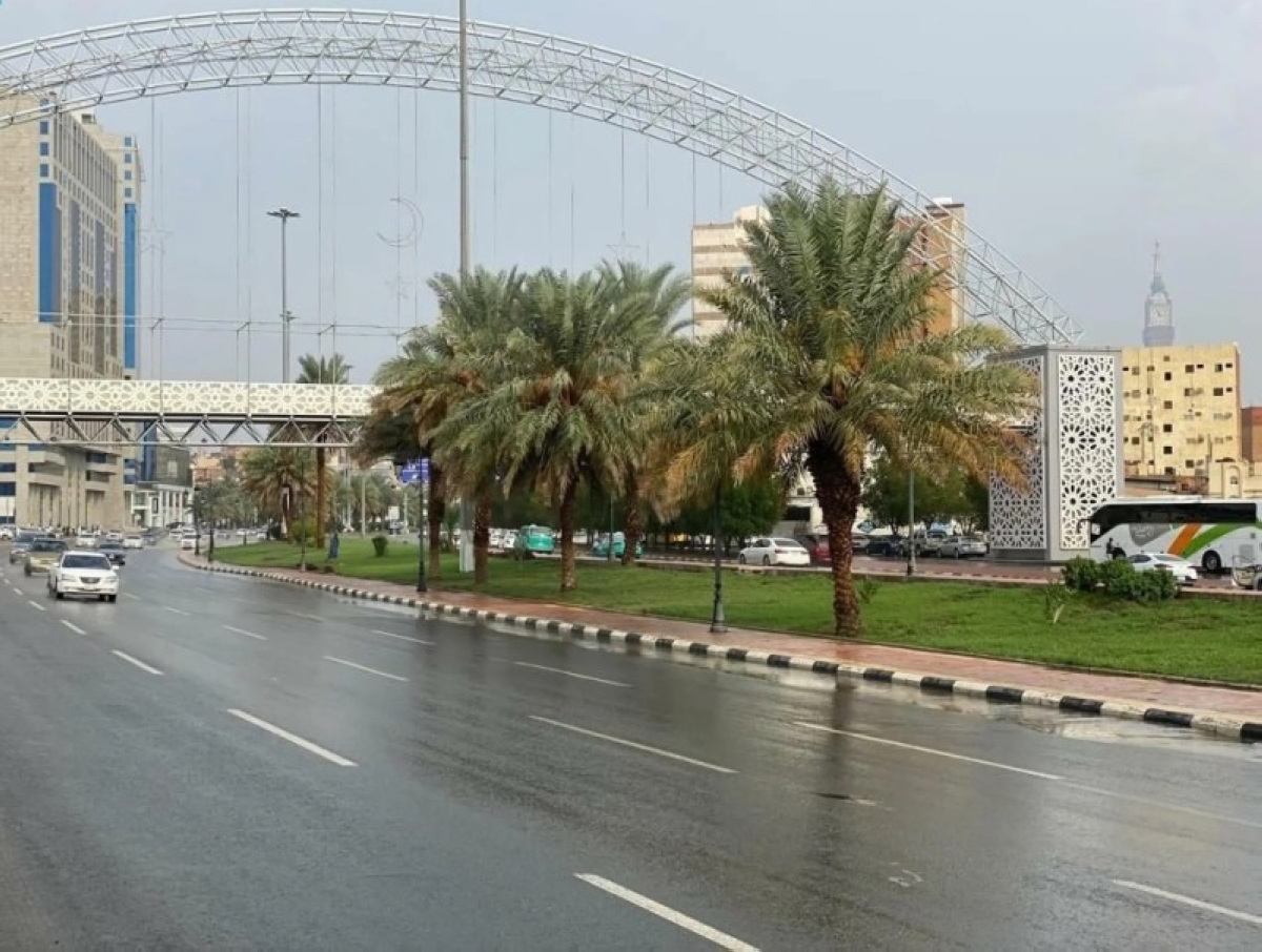
توقّع المركز الوطني للأرصاد في تقريره عن حالة الطقس اليوم (الثلاثاء) هطول أمطار رعدية متوسطة إلى غزيرة تؤدي إلى جريان السيول مصحوبة بزخات من البرد ورياح نشطة على أجزاء من منطقة جازان، في حين تكوّن خفيفة إلى متوسطة على أجزاء من مناطق مكة المكرمة، الباحة، عسير، والأجزاء الجنوبية من المنطقة الشرقية ولا يستبعد تكوّن الضباب على أجزاء من تلك المناطق، كذلك على الأجزاء الساحلية من منطقة المدينة المنورة، في حين يستمر تأثير الرياح النشطة المثيرة للأتربة والغبار على أجزاء من منطقة الرياض.
وأشار التقرير إلى أن حركة الرياح السطحية على البحر الأحمر شمالية غربية إلى شمالية بسرعة (15 - 30) كم/ساعة على الجزء الشمالي والأوسط، وجنوبية غربية إلى جنوبية شرقية بسرعة (10 - 25) كم/ساعة تصل إلى (45) كم/ساعة مع تكوّن السحب الرعدية الممطرة على الجزء الجنوبي، وارتفاع الموج من نصف المتر إلى متر ونصف المتر على الجزء الشمالي والأوسط، ومن نصف المتر إلى متر يصل إلى أعلى من مترين مع تكوّن السحب الرعدية الممطرة على الجزء الجنوبي، وحالة البحر خفيف الموج إلى متوسط يصل إلى مائج مع تكوّن السحب الرعدية الممطرة على الجزء الجنوبي.
أما حالة الرياح السطحية في الخليج العربي ستكون شمالية غربية إلى شمالية بسرعة (15 - 30) كم/ساعة، وارتفاع الموج من نصف المتر إلى متر ونصف المتر، وحالة البحر خفيف الموج إلى متوسط.
The National Center of Meteorology expected in its weather report today (Tuesday) moderate to heavy thunderstorms that could lead to flash floods, accompanied by hail showers and active winds in parts of the Jazan region. Meanwhile, light to moderate rain is expected in parts of the Makkah, Al-Baha, Asir regions, and the southern parts of the Eastern Province, with the possibility of fog formation in parts of those areas, as well as in the coastal areas of the Madinah region. The impact of active winds stirring up dust and sand will continue in parts of the Riyadh region.
The report indicated that the surface wind movement over the Red Sea will be northwesterly to northerly at a speed of (15 - 30) km/h in the northern and central parts, and southwesterly to southeasterly at a speed of (10 - 25) km/h, reaching up to (45) km/h with the formation of thunderstorm clouds in the southern part. Wave heights will range from half a meter to one and a half meters in the northern and central parts, and from half a meter to one meter, exceeding two meters with the formation of thunderstorm clouds in the southern part. The sea condition will be light to moderate, becoming rough with the formation of thunderstorm clouds in the southern part.
As for the surface wind conditions in the Arabian Gulf, they will be northwesterly to northerly at a speed of (15 - 30) km/h, with wave heights ranging from half a meter to one and a half meters, and the sea condition will be light to moderate.