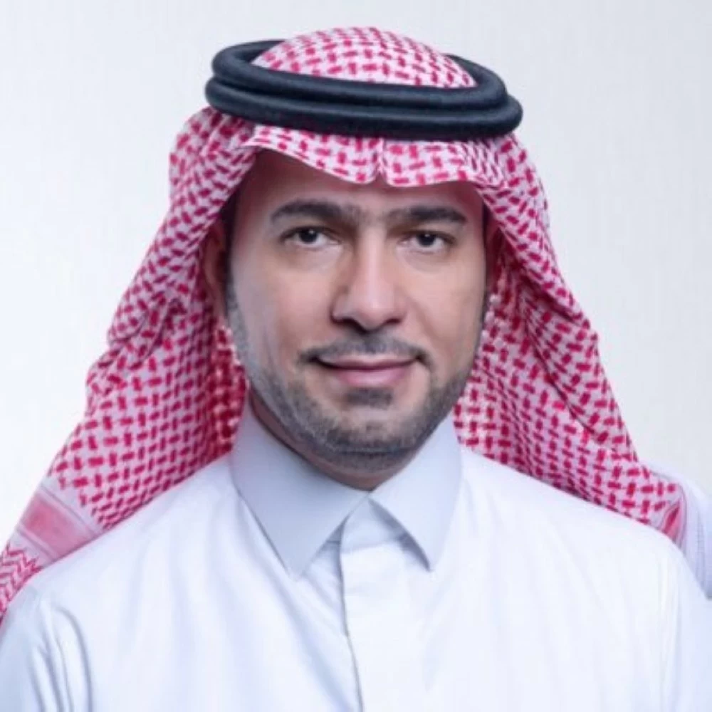
وصف وزير البلديات والإسكان ماجد عبدالله الحقيل اكتمال إعداد مخطط شمال شرق الرياض بأنه استمرار لرحلة التنمية الحضرية في العاصمة برؤية تضع الإنسان أولاً، عبر تخطيط متكامل يقرّب السكن من الخدمات.
وأضاف وزير البلديات أن المخطط يربط الأحياء بشبكات نقل فعّالة، ويهيئ مراكز نمو مستقبلية تدعم التنوع الاقتصادي، وترسخ ازدهار الرياض واستدامة نموها.
وكانت الهيئة الملكية لمدينة الرياض أعلنت أمس (الإثنين) اكتمال إعداد المخطط العام الأولي للمنطقة الواقعة شمال شرقي العاصمة، على مساحة تقارب 456 كيلومتراً مربعاً، في إطار التخطيط طويل المدى لتوسع المدينة، وبما يواكب النمو العمراني والسكاني والاقتصادي الذي تشهده الرياض.
وطبقاً لإعلان الهيئة، يرتبط نطاق المخطط بمنطقة ترتبط بمطار الملك خالد ووادي السلي وطريقي الدمام والجنادرية، فيما يضع تصوراً عاماً لاستخدامات الأراضي، يشمل المناطق السكنية والاقتصادية والترفيهية والطبيعية، مع اعتماد التوسع المرحلي بما ينسجم مع حاجات المدينة المستقبلية.
ويشمل المخطط مجتمعات عمرانية تضم السكن والخدمات اليومية والمساحات الخضراء مع الحفاظ على الأودية الطبيعية، وربط المنطقة بشبكات الطرق والنقل العام والبنية التحتية.
The Minister of Municipalities and Housing, Majid Abdullah Al-Huqail, described the completion of the Northeast Riyadh plan as a continuation of the urban development journey in the capital with a vision that puts people first, through integrated planning that brings housing closer to services.
The Minister of Municipalities added that the plan connects neighborhoods with effective transportation networks and prepares future growth centers that support economic diversity, reinforcing the prosperity of Riyadh and the sustainability of its growth.
The Royal Commission for Riyadh City announced yesterday (Monday) the completion of the preliminary master plan for the area located northeast of the capital, covering an area of approximately 456 square kilometers, as part of the long-term planning for the city's expansion, in line with the urban, population, and economic growth that Riyadh is experiencing.
According to the Commission's announcement, the scope of the plan is linked to an area associated with King Khalid Airport, Wadi Al-Sulay, and the Dammam and Janadriyah roads, while providing a general vision for land uses, including residential, economic, recreational, and natural areas, with a phased expansion that aligns with the future needs of the city.
The plan includes urban communities that encompass housing, daily services, and green spaces while preserving natural valleys, and connects the area with road networks, public transport, and infrastructure.